Map your own path to success
Create contours you can trust with C-MAP Genesis, revealing fish-holding structure other maps miss.
Custom Contour Maps
C-MAP Genesis is a mapping program that empowers you to create custom, high-definition fishing maps from sonar data recorded with a compatible* sonar/GPS unit on your own boat.
If there’s currently no map of your favorite waterbodies, the benefits are immediately apparent. Finally, you can know what’s below, and the best spots to go! No more wishing or waiting for a company or the government to map the waters most important to you.
And if there is a map already of your favorite waterbody, how accurate is it? Ever found a hump, ditch or drop-off that’s not on your map?
According to one published report, the maps available in the “vast majority of electronic cartography” are based on historical data from governmental agencies – data often 50 years old or more! Some historical depth charts, the report says, are based on only “four or five soundings for the entire acreage” of a lake. To get “1-foot contours” for maps of such lakes, companies can run a computer program to estimate depths between government-drawn contours lines and just fill in the blanks.
That’s why you often see structure on your sonar screen where your map shows nothing – the bottom there doesn’t really look like your map says it does, a computer program simply estimated the depth there and drew some lines. That’s why even the most expensive off-the-shelf digital map cards with so-called “1-foot contours” are missing spots where you can catch big limits of fish.
With C-MAP Genesis though, you can create 1-foot contours you can trust, freeing you to unlock all the secrets of your favorite waterbody. You are in control. You can map your own path to success. You can discover and dissect spot-on-the-spot areas unknown to other anglers. You can catch more and bigger fish.
For recreational and tournament anglers alike, that’s a game-changer. No other consumer mapping program is better at helping you find and catch fish from “spot on the spot” areas like humps, holes, ditches and inside turns on break-lines.
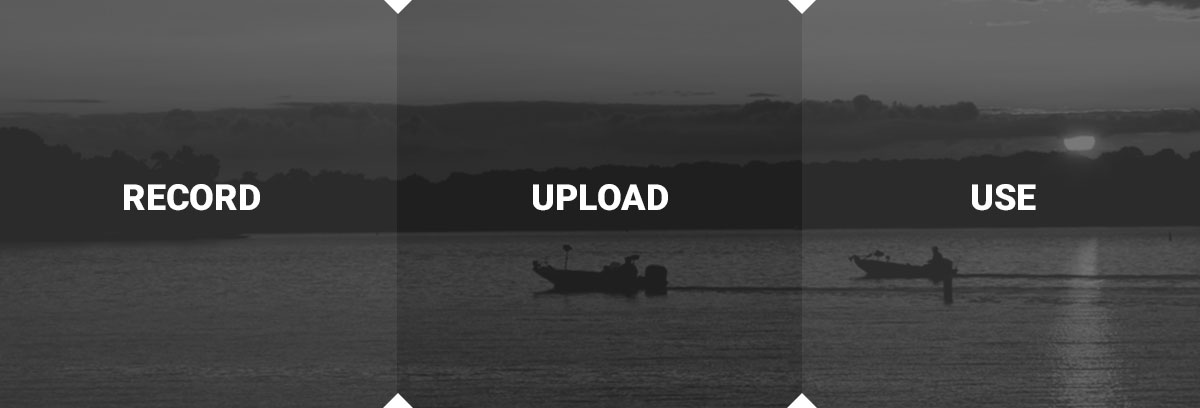
Record your sonar signals every time you go fishing and/or “graph” areas in tournament practice, upload to C-MAP Genesis, and you can find fish-holding spots no one else knows about. Blue-shaded depth gradiations on your Genesis maps will make the structure you discover more apparent at a glance – darker blue = deeper water; lighter blue = shallower water.
Sign up today for a free C-MAP Genesis account and start catching more and bigger fish from bottom structure other anglers don’t know exists.
* Most modern Lowrance, Simrad and B&G sonar/GPS units can display C-MAP Genesis charts as well as record sonar log files.